|
|
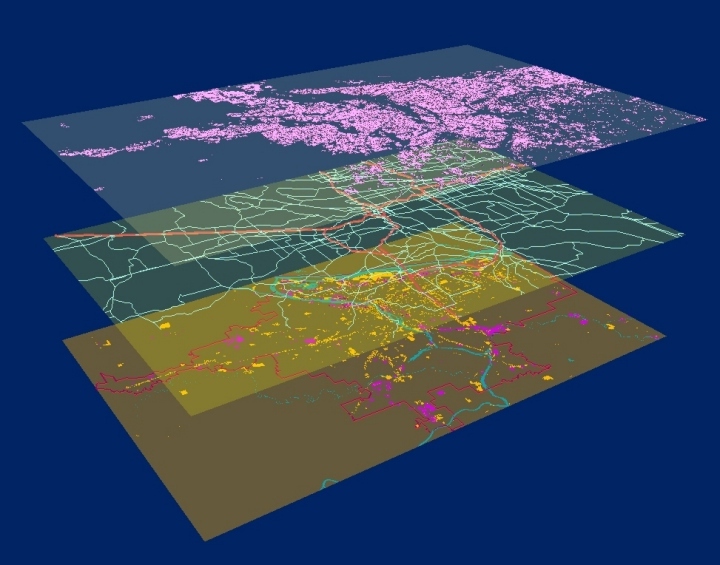
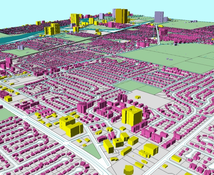
This figure shows three types of GIS data used in a study of Portland,Oregon: residential parcels (top), transportation network (middle), and commercial and industrial parcels (bottom). A total of 371,300 land parcels are rendered in 3D in this figure, while the digital transport network has 130,141 arcs and 104,048 nodes. |
|
|
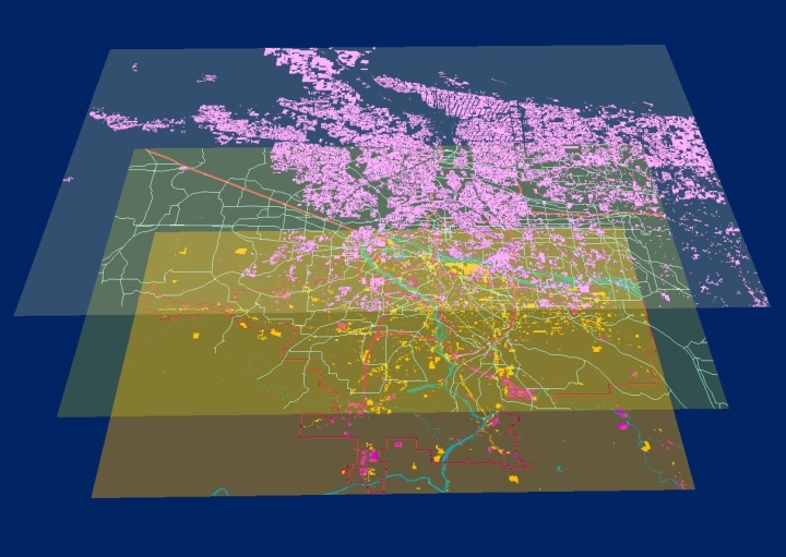
Another view of the same Portland, Oregon GIS data: residential parcels (top), transportation network (middle), and commercial and industrial parcels (bottom). A total of 371,300 land parcels are rendered in 3D in this figure, while the digital transport network has 130,141 arcs and 104,048 nodes. |
|
|
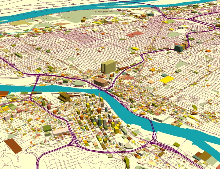
Using the same GIS data, this figures shows the area around downtown Portland. Only the 22,720 commercial and industrial parcels are rendered here. |
|
|
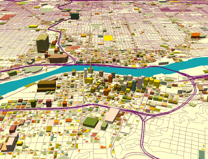
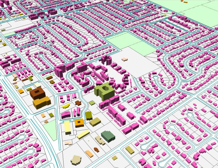
A close-up view of downtown Portland.
|
|
|
A total of 453,536 buildings and 346,431 parcels are rendered in this 3D scene of Columbus, Ohio. |
|
|
A close-up view of the Columbus 3D scene.
|